Yarr65
Curated Collection
Global maps
(999)
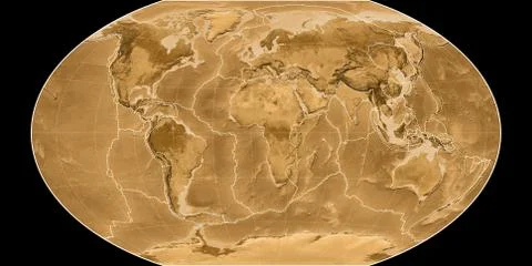
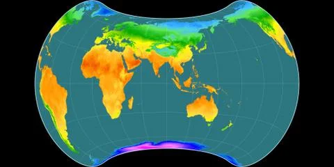
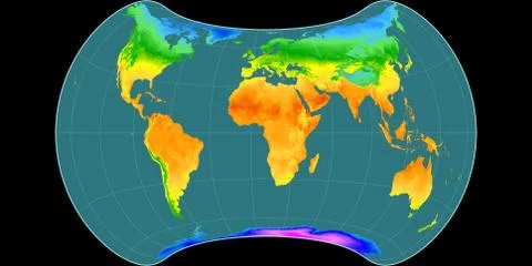
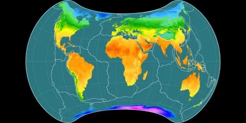
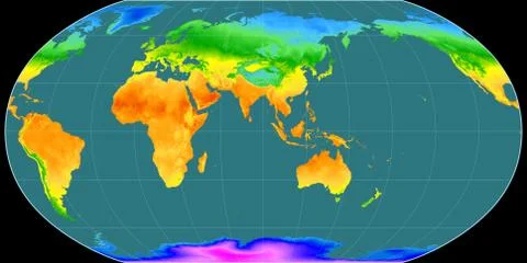
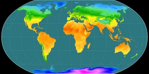
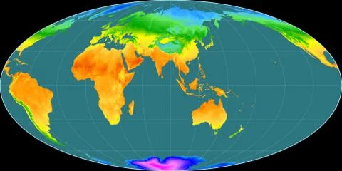
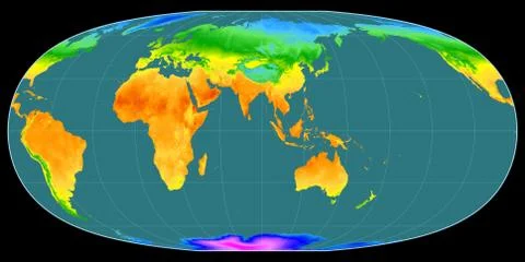
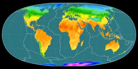
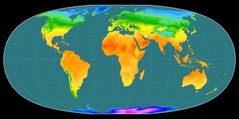
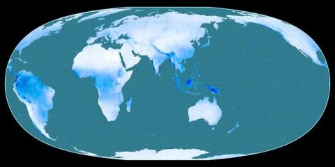
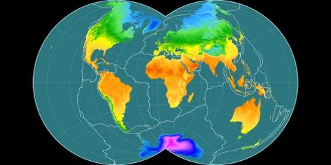
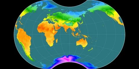
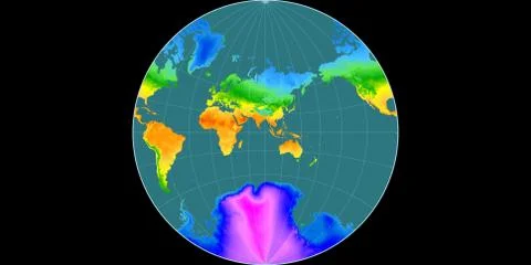
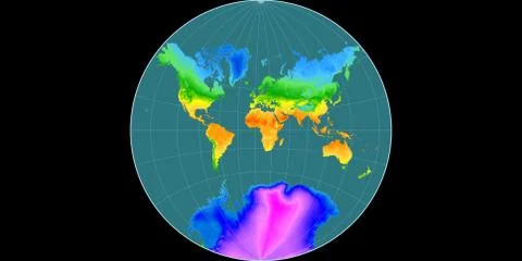
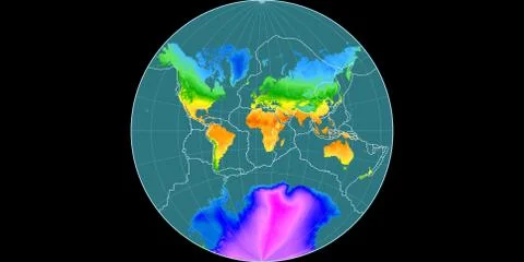
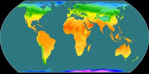
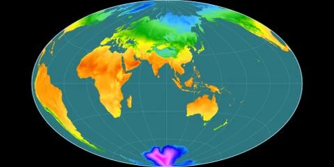
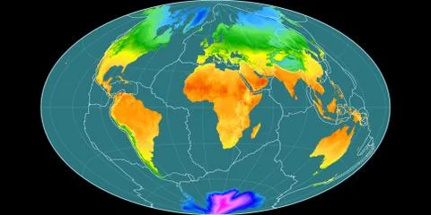
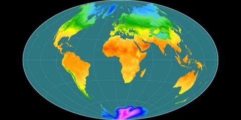
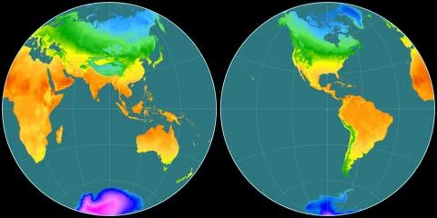
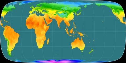
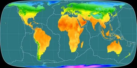
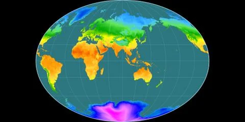
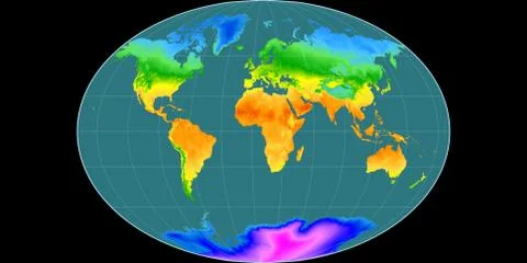
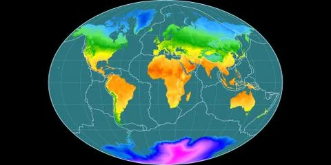
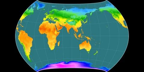
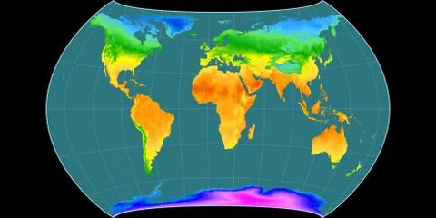
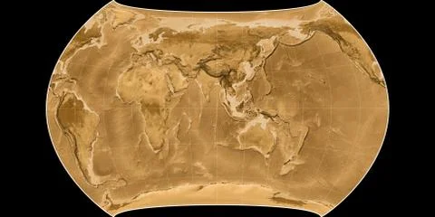
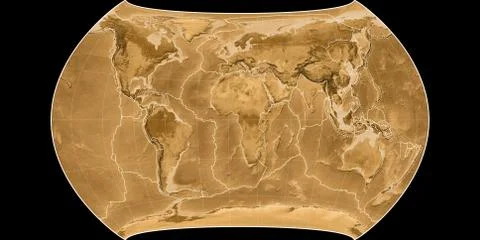
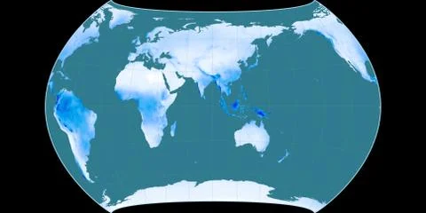
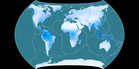
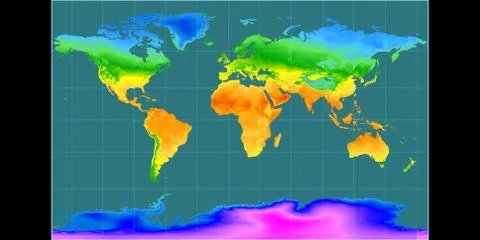
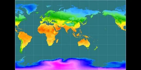
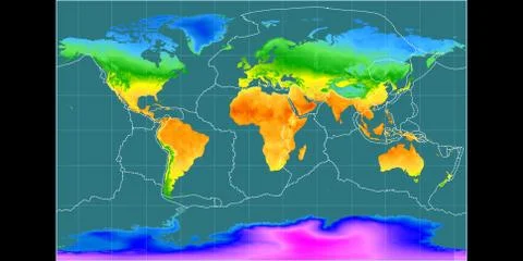
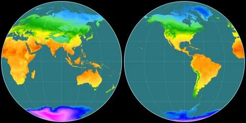
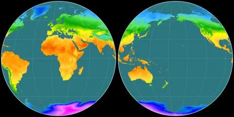
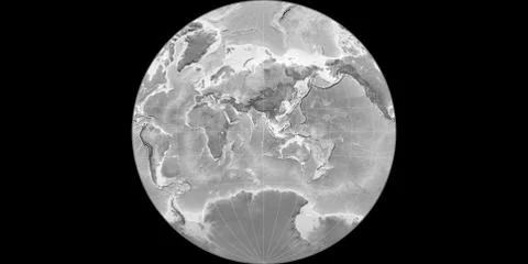
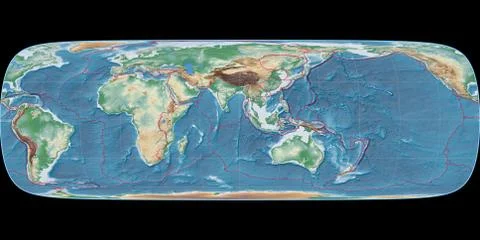
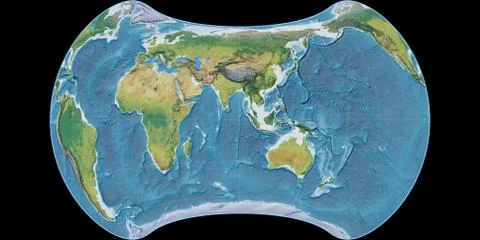
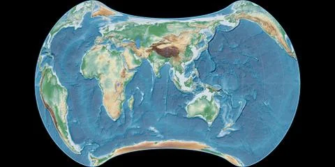
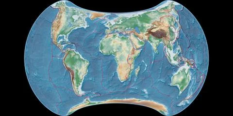
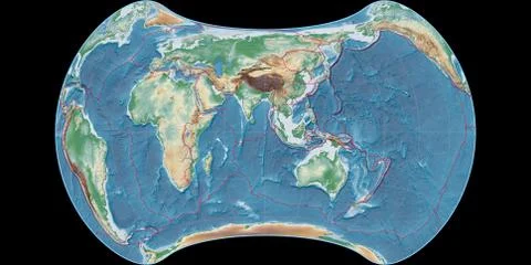
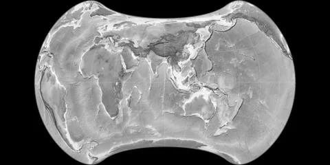
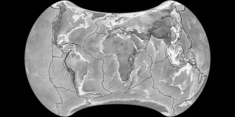
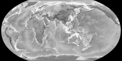
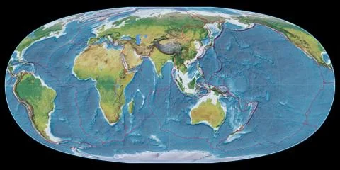
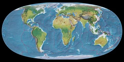
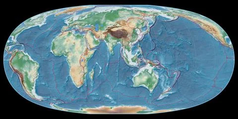
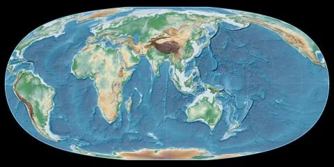
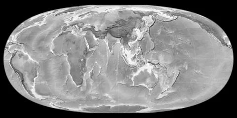
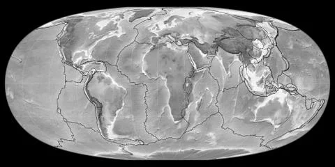
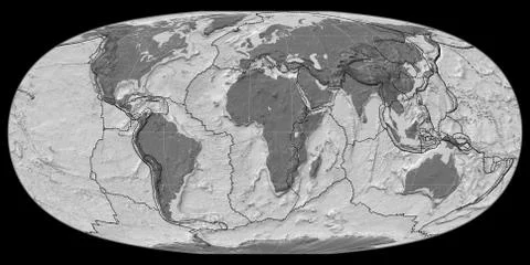
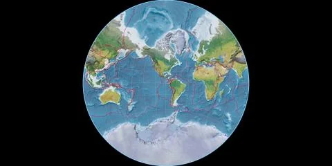
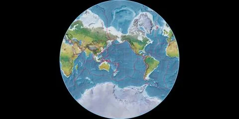
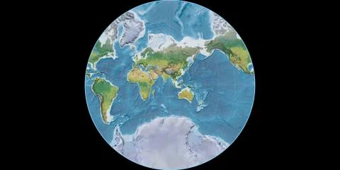
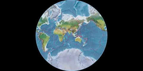
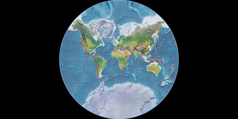
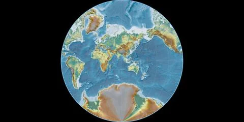
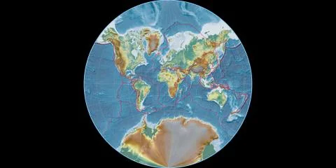
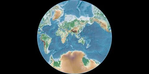
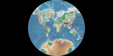
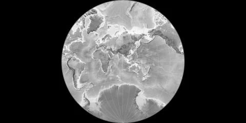
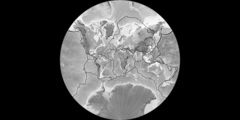
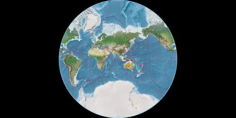
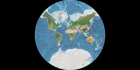
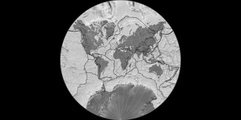
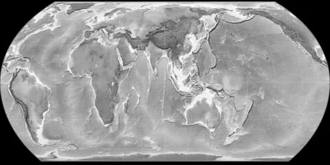
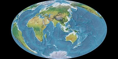
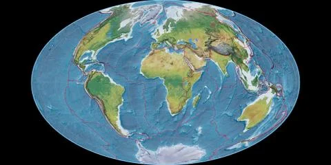
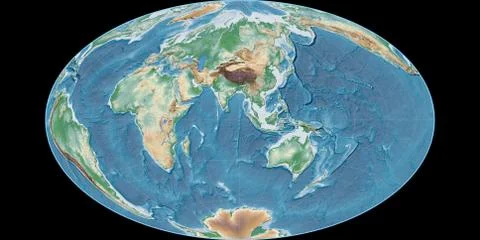
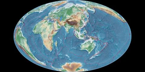
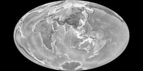
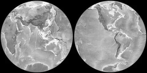
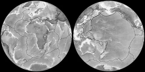
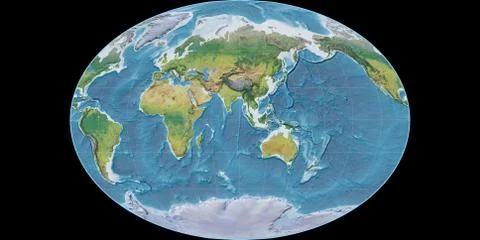
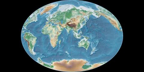
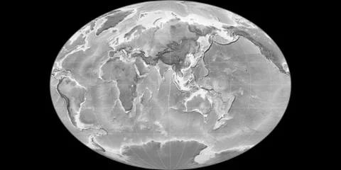
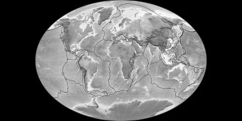
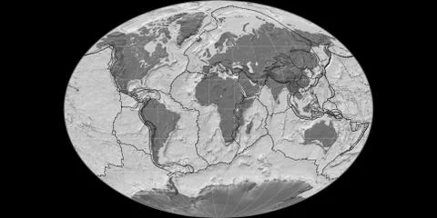
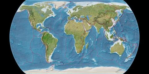
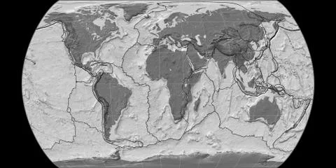
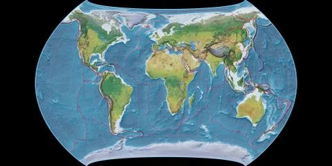
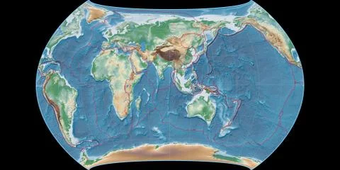
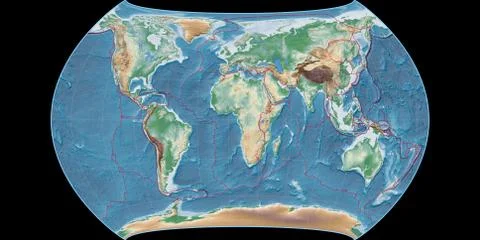
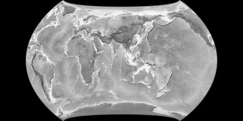
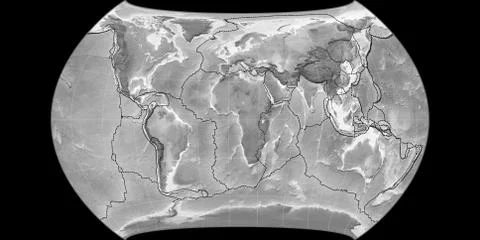
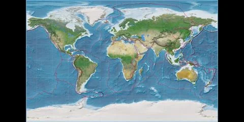
High resolution (15k px) global maps rendered in various cartographic projections centered on four meridians (11E, 90E, 170W, 90W). There also versions with tectonic plate borders (newest Peter Bird's division). Available rasters: satellite, physical, relief, sepia, grayscale, bilevel, temperature, precipitation.
Global maps Stock Illustrations