Animated 2D Maps of US Mexico and International Regions for Editors and Creators
(471)
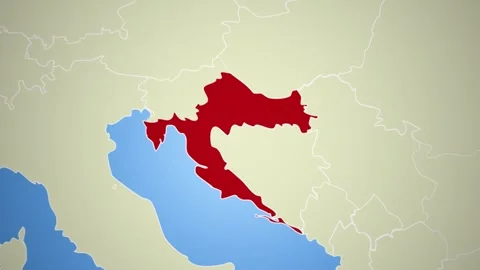
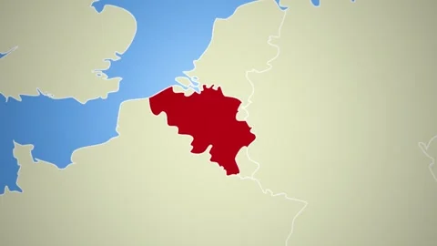
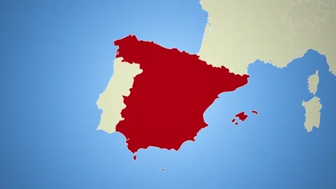
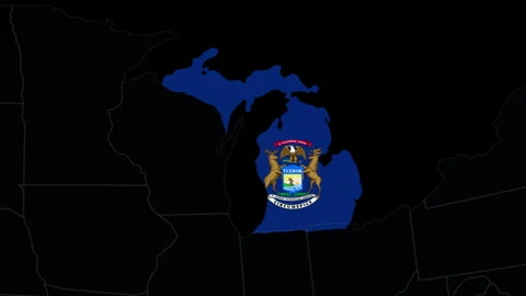
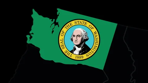
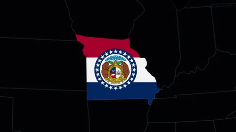
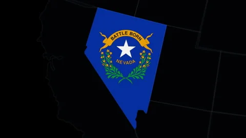
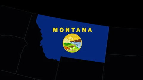
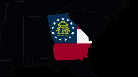
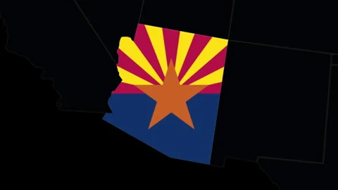
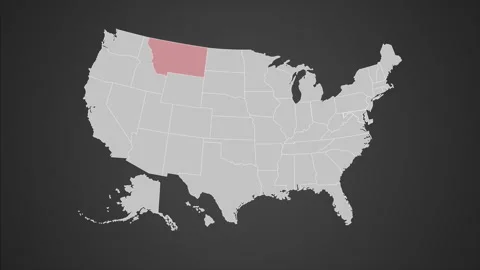
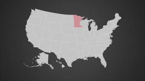
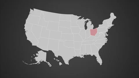
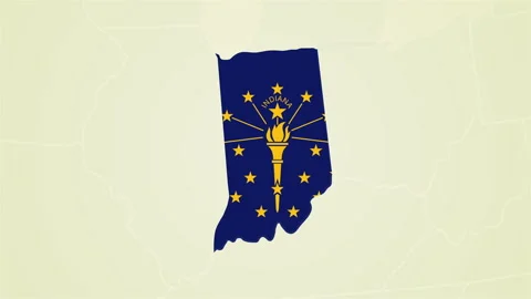
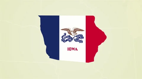
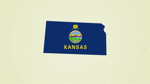
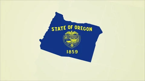
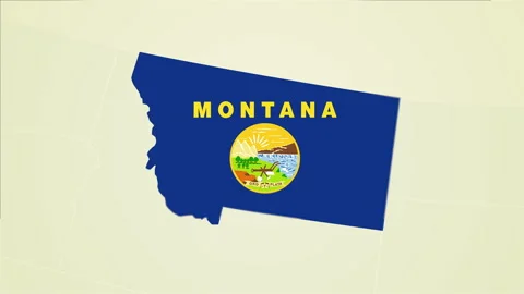
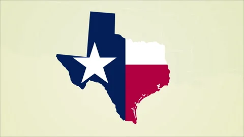
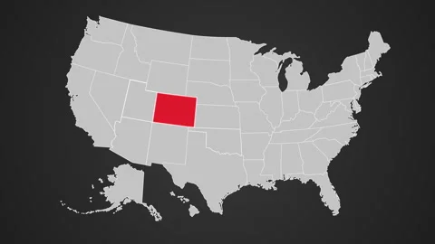
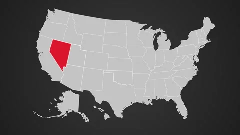
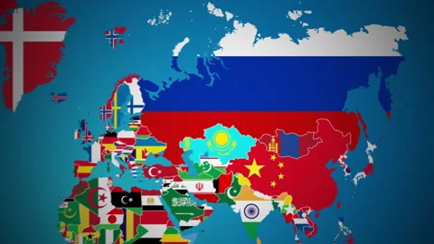
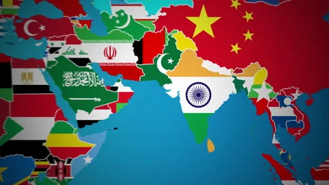
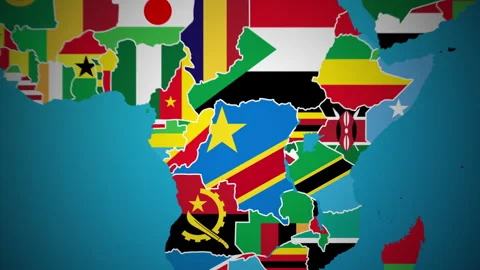
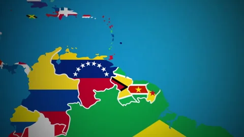
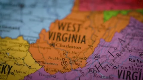
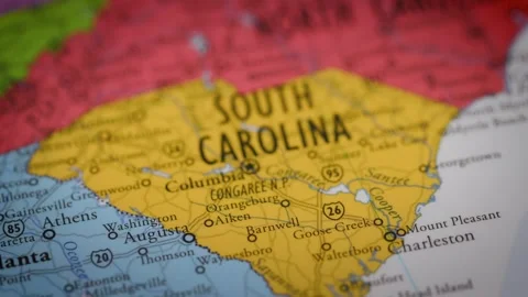
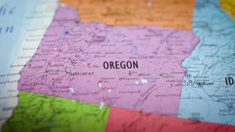
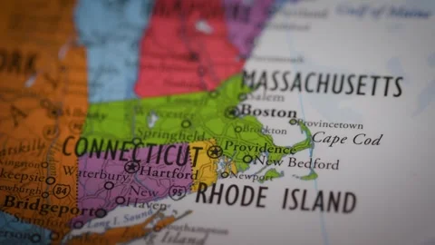
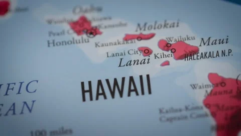
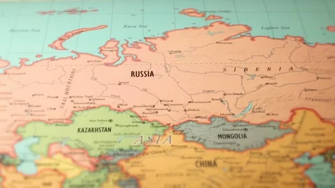
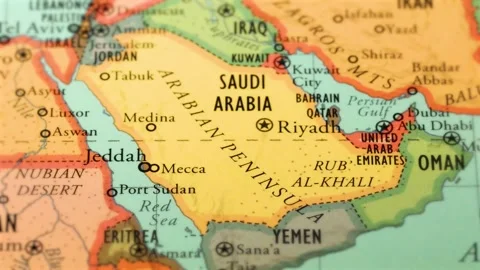
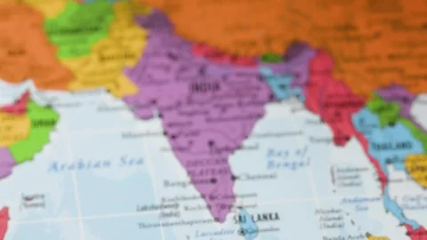
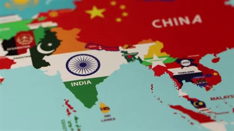
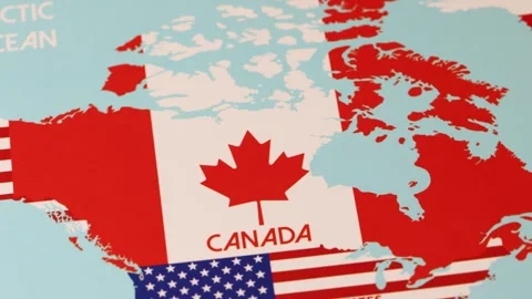
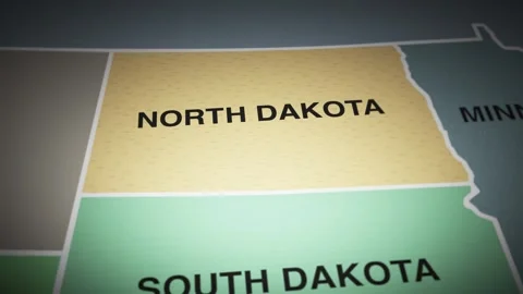
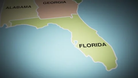
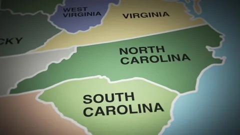
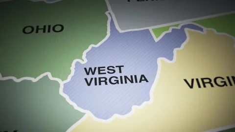
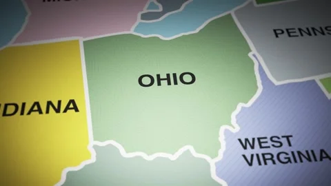
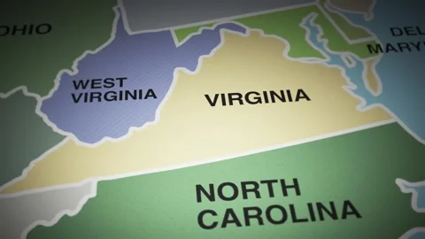
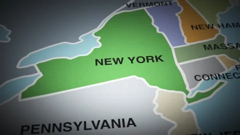
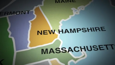
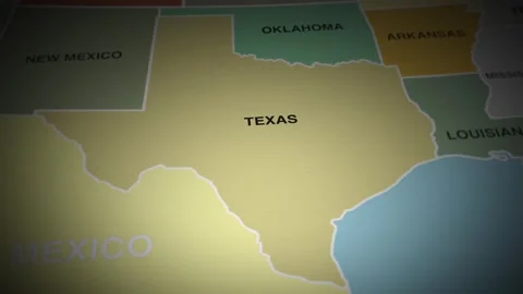
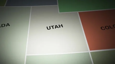
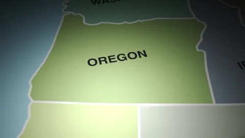
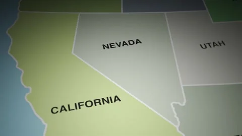
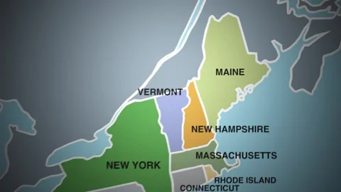
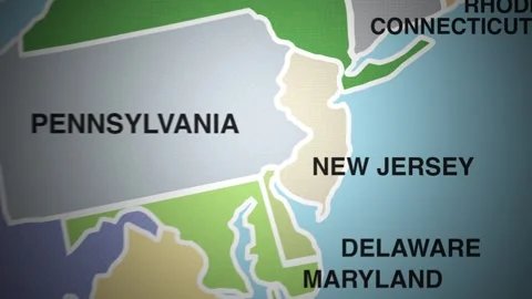
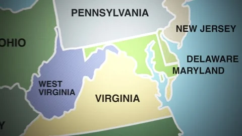
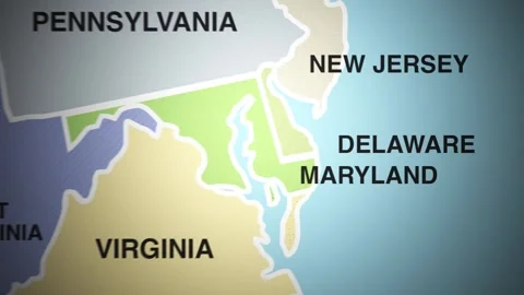
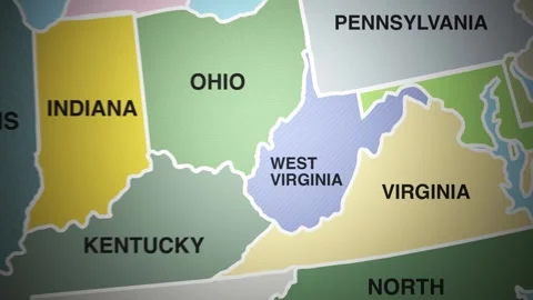
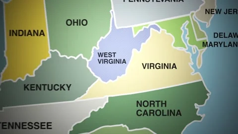
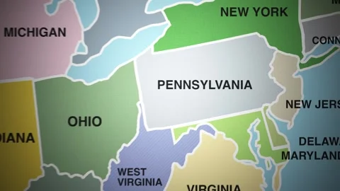
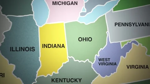
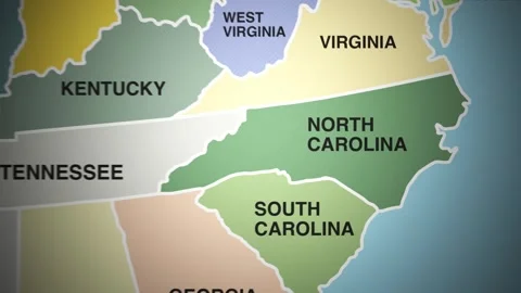
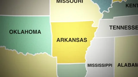
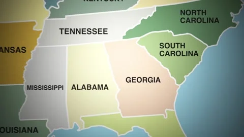
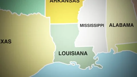
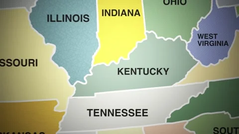
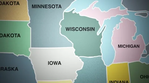
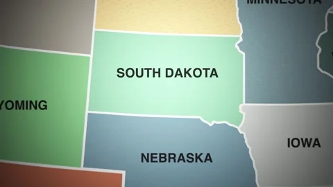
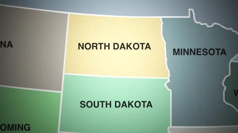
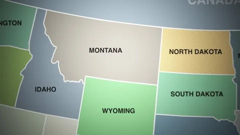
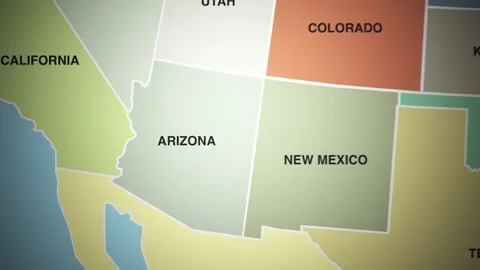
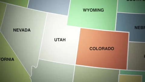
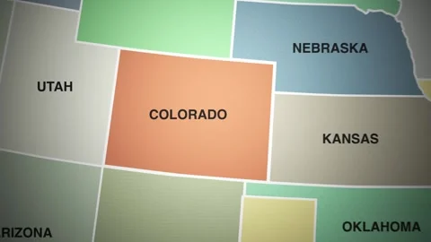
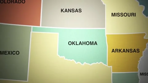
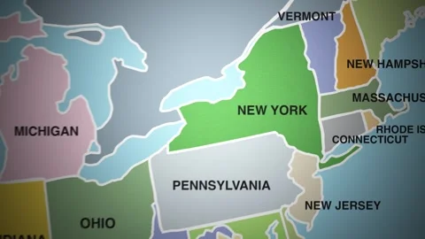
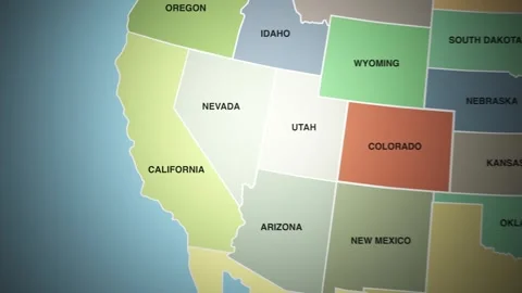
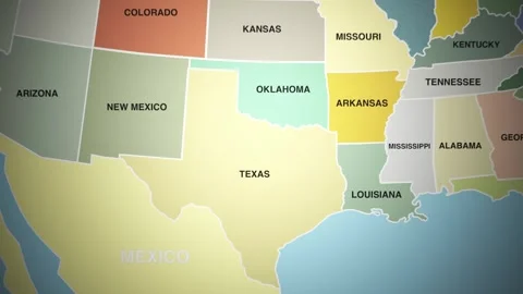
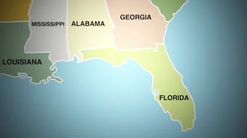
A versatile collection of 2D animated map footage featuring regions of the United States, Mexican states, and international countries. Includes dynamic transitions, zooms, and highlighted borders perfect for educational content, explainer videos, travel documentaries, and global news packages. Each map is designed for easy overlay use, ideal for YouTubers, editors, and motion designers seeking clean, professional visual aids to illustrate geography, politics, migration, or history. A must-have resource for projects that explore places and their stories. Use this collection for: -Educational and classroom videos -News and international reporting -Political and historical documentaries -Travel channels and vlogs -Geography explainers and animations -Infographics and motion design overlays
Animated 2D Maps of US Mexico and International Regions for Editors and Creators Stock Footage