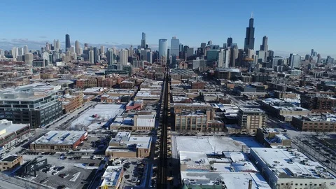
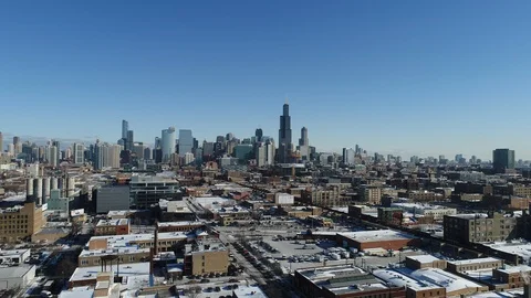
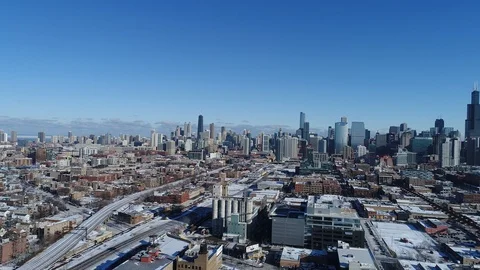
To provide high fidelity aerial imagery, digital maps and information to people, businesses and organizations.
2018からPond5に寄稿
#{text}