Pause Media
Skip to main content
Pond5
Video
Kreatives Bildmaterial
Nachrichten und Archiv-Videos
Exklusive Videos
Vertikale Videos
VideoAI
VideoAI
Musik
Startseite Musik
Sound-Effekte
Startseite Soundeffekte
Mehr
Weitere Medien anzeigen
After Effects
Startseite After Effects
Fotos
Startseite Fotos
illustrationen
Startseite Illustrationen
Photoshop PSD
Startseite Photoshop-PSD
illustrationen
Video
Kreatives Bildmaterial
Nachrichten und Archiv-Videos
Exklusive Videos
Vertikale Videos
Musiktitel
Sound-Effekte
After Effects
Fotos
illustrationen
Photoshop PSD
Clear Search
Visual Similarity Search
Suchen
Suchen
de
Deutsch -
de
English -
en
Español -
es
Français -
fr
Italiano -
it
Nederlands -
nl
Português -
pt
Русский -
ru
한국인 -
ko
日本語 -
ja
简体中文 -
zh
Kontakt
Preise
0
Get more credits
Jetzt Registrieren!
Anmelden
Jetzt Registrieren!
Anmelden
0
Mobile navigation
Ungrim
Poland
27 illustrationen
21 Videos
Teile
emailIcon
Created with Sketch.
Email
Link kopieren
Facebook
twitterIcon
Created with Sketch.
Twitter
Mehr
Weniger
Über
Keine Information
Pond5-Künstler seit 2020
Keywords
green
light
countryside
canola
farming
crop
environment
nature
natural
background
oil
rural
flower
agriculture
farm
Startseite
Browse artists illustrationen
illustrationen
Browse artists Footage
Footage
Sammlungen
illustrationen
Alles ansehen
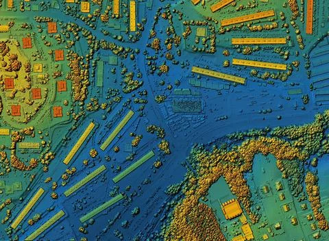
Map Of Urban City Area With Coloured Geospatial Data For Gis Usage
Ähnliches anzeigen
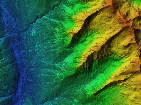
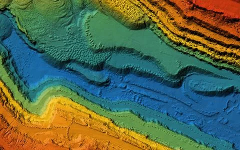
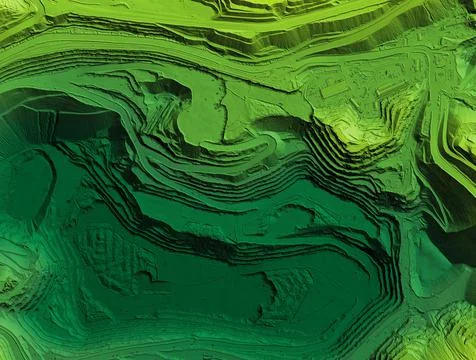
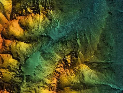
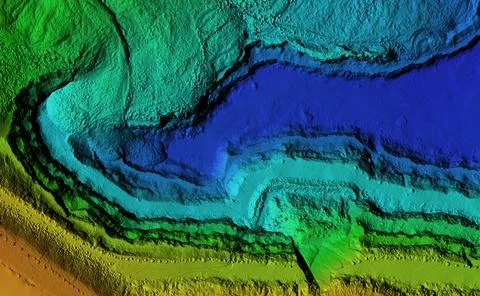
Elevation Model Of Mountain Terrain
Ähnliches anzeigen
Lithuania Flag Depicted On A Stone Wall.
Ähnliches anzeigen
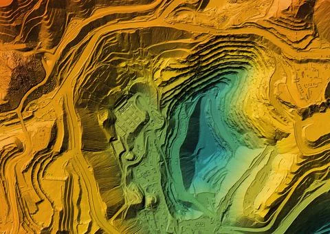
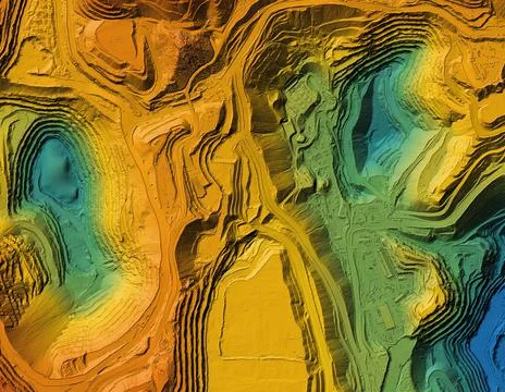
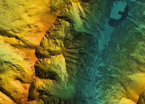
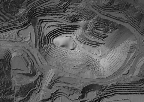
Elevation Model Made After Proccesing Aerial Pictures Taken From A Drone
Ähnliches anzeigen
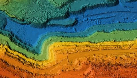
Elevation Model Of Mountain Terrain
Ähnliches anzeigen
Russian Flag Superimposed On Duplicate Computer Code That Permeates Each Other.
Ähnliches anzeigen
Elevation Model Made After Proccesing Aerial Pictures Taken From A Drone
Ähnliches anzeigen
Map Of Urban City Area With Coloured Geospatial Data For Gis Usage
Ähnliches anzeigen
Outline Map Of United Kingdom With The National Flag
Ähnliches anzeigen
Map Of Urban City Area With Coloured Geospatial Data For Gis Usage
Ähnliches anzeigen
Map Of Urban City Area With Coloured Geospatial Data For Gis Usage
Ähnliches anzeigen
Elevation Model Made After Proccesing Aerial Pictures Taken From A Drone
Ähnliches anzeigen
Outline Map Of Germany With The National Flag
Ähnliches anzeigen
Outline Map Of France With The National Flag
Ähnliches anzeigen
Outline Map Of Poland With The National Flag
Ähnliches anzeigen
Outline Map Of Ukraine With The National Flag
Ähnliches anzeigen
Elevation Model Of Mountain Terrain
Ähnliches anzeigen
Latvia Flag Depicted On A Stone Wall.
Ähnliches anzeigen
Elevation Model Made After Proccesing Aerial Pictures Taken From A Drone
Ähnliches anzeigen
Map Of Urban City Area With Coloured Geospatial Data For Gis Usage
Ähnliches anzeigen
Poland Flag Depicted On A Stone Wall
Ähnliches anzeigen
European Union Flag Depicted On A Stone Wall.
Ähnliches anzeigen
Elevation Model Of Mountain Terrain
Ähnliches anzeigen
Elevation Model Made After Proccesing Aerial Pictures Taken From A Drone
Ähnliches anzeigen
Map Of Urban City Area With Coloured Geospatial Data For Gis Usage
Ähnliches anzeigen
Belarus Flag Depicted On A Stone Wall.
Ähnliches anzeigen
Elevation Model Made After Proccesing Aerial Pictures Taken From A Drone
Ähnliches anzeigen
Zurück
1
Seite 1
Nächster
Neueste Illustrationen
Alles ansehen
Search results item placeholder
Search results item placeholder
Search results item placeholder
Search results item placeholder
Search results item placeholder
Search results item placeholder
English
Español
Français
Italiano
Nederlands
Português
Русский
한국인
日本語
简体中文
x
#{title}
#{text}
Close