Pause Media
Skip to main content
Pond5
视频
创意影片
新闻和存档影片
独家影片
竖屏视频
VideoAI
VideoAI
音乐
音乐首页
音效
音效首页
更多
显示更多媒体类型
After Effects
After Effects 首页
照片
照片首页
插图
插图首页
Photoshop PSD
Photoshop PSD 首页
插图
视频
创意影片
新闻和存档影片
独家影片
竖屏视频
音乐歌曲
音效
After Effects
照片
插图
Photoshop PSD
Clear Search
Visual Similarity Search
搜索
搜索
zh
Deutsch -
de
English -
en
Español -
es
Français -
fr
Italiano -
it
Nederlands -
nl
Português -
pt
Русский -
ru
한국인 -
ko
日本語 -
ja
简体中文 -
zh
联系我们
定价
0
Get more credits
立即加入
登录
立即加入
登录
0
Mobile navigation
Ungrim
Poland
27 插图
21 视频
分享
emailIcon
Created with Sketch.
Email
复制链接
Facebook
twitterIcon
Created with Sketch.
Twitter
更多
更少
关于
无信息
自 2020 后的 Pond5 艺术家
关键词
green
light
countryside
canola
farming
crop
environment
nature
natural
background
oil
rural
flower
agriculture
farm
主页
Browse artists 插图
插图
Browse artists 影片
影片
收藏
插图
查看全部
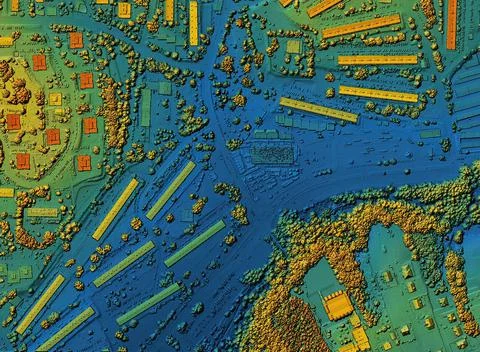
Map Of Urban City Area With Coloured Geospatial Data For Gis Usage
查看类似内容
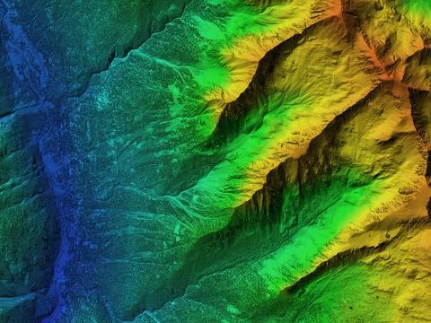
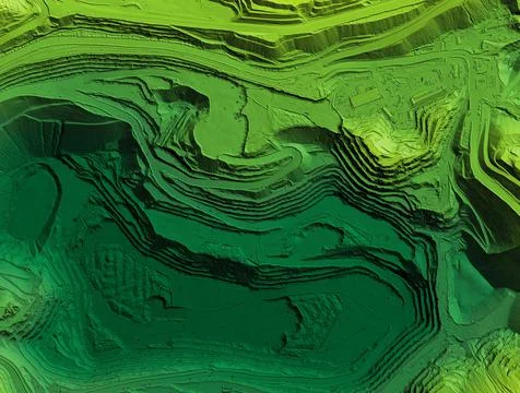
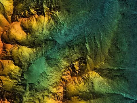
Elevation Model Of Mountain Terrain
查看类似内容
Lithuania Flag Depicted On A Stone Wall.
查看类似内容
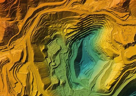
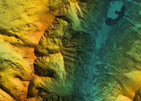
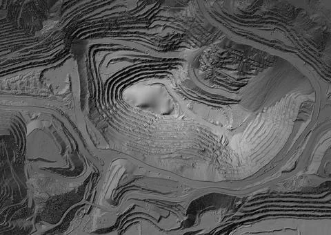
Elevation Model Made After Proccesing Aerial Pictures Taken From A Drone
查看类似内容
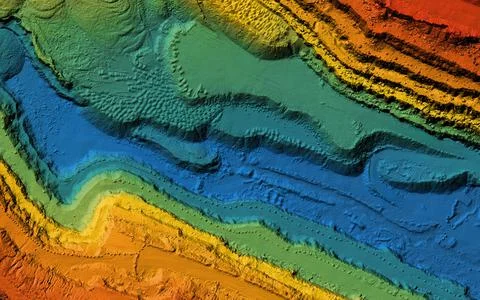
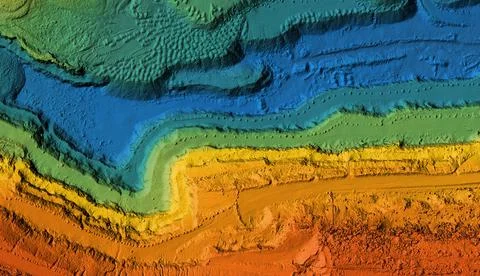
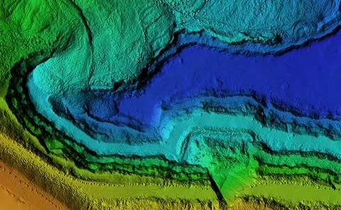
Elevation Model Of Mountain Terrain
查看类似内容
Russian Flag Superimposed On Duplicate Computer Code That Permeates Each Other.
查看类似内容
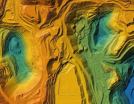
Elevation Model Made After Proccesing Aerial Pictures Taken From A Drone
查看类似内容
Map Of Urban City Area With Coloured Geospatial Data For Gis Usage
查看类似内容
Outline Map Of United Kingdom With The National Flag
查看类似内容
Map Of Urban City Area With Coloured Geospatial Data For Gis Usage
查看类似内容
Map Of Urban City Area With Coloured Geospatial Data For Gis Usage
查看类似内容
Elevation Model Made After Proccesing Aerial Pictures Taken From A Drone
查看类似内容
Outline Map Of Germany With The National Flag
查看类似内容
Outline Map Of France With The National Flag
查看类似内容
Outline Map Of Poland With The National Flag
查看类似内容
Outline Map Of Ukraine With The National Flag
查看类似内容
Elevation Model Of Mountain Terrain
查看类似内容
Latvia Flag Depicted On A Stone Wall.
查看类似内容
Elevation Model Made After Proccesing Aerial Pictures Taken From A Drone
查看类似内容
Map Of Urban City Area With Coloured Geospatial Data For Gis Usage
查看类似内容
Poland Flag Depicted On A Stone Wall
查看类似内容
European Union Flag Depicted On A Stone Wall.
查看类似内容
Elevation Model Of Mountain Terrain
查看类似内容
Elevation Model Made After Proccesing Aerial Pictures Taken From A Drone
查看类似内容
Map Of Urban City Area With Coloured Geospatial Data For Gis Usage
查看类似内容
Belarus Flag Depicted On A Stone Wall.
查看类似内容
Elevation Model Made After Proccesing Aerial Pictures Taken From A Drone
查看类似内容
返回
1
第 1 页
下一步
最新插图
查看全部
Search results item placeholder
Search results item placeholder
Search results item placeholder
Search results item placeholder
Search results item placeholder
Search results item placeholder
Deutsch
English
Español
Français
Italiano
Nederlands
Português
Русский
한국인
日本語
x
#{title}
#{text}
Close